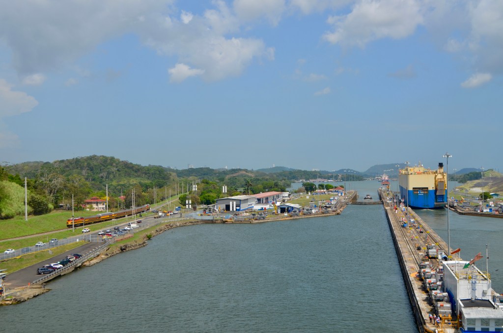
Approaching the first of the final three locks, you can see that the channel splits. To the right, larger ships than ours follow the route of new locks designed for their size. Also note the lush and graded greenery. Grading the lands helps with erosion and landslides.
The route of the Panama Canal follows the path of the Panama Railway of 1855. Pictured above, our ship is guided into the left-hand lane of the Pedro Miguel locks, alongside the car carrier we have followed from the start! Once the hydraulic gates close behind us, water is released from the lock lowering the vessel 31 feet and allowing us to proceed one mile to the two final locks of the canal.
The buildings peeping above the hills on the horizon are those of Panama City!

The Miraflores Locks are the final two locks which combined lower vessels the final 54 feet to sea level! Above is an alternative view of a lock looking at it from the back of the ship. You can see the water mark on the wall indicating the level of the water as we entered the lock. Also, see the tank-looking engines at the top of the lock on either side. The ship is attached to these machines using cables that keep vessels in the centre of the locks. (Sorry, I was photographing into a setting sun).

Your right, it’s an amazing engineering achievement. Mike
LikeLike
Very interesting indeed an experience not to be missed. Looking forward to hearing all about it.
LikeLike